
Precision Farming Technologies
Our Precision Farming Technologies (PFT) service helps growers lift broadacre productivity by mapping variation within each paddock and applying inputs at variable rates.
Precision Farming Technologies
Plantations International's Precision Farming Technologies (PFT) service helps growers raise broadacre productivity using variable rate technology and systems.
Farming has traditionally relied on trial and error, accumulated knowledge and judging soil by feel. Mechanisation later replaced horses with tractors. Today, satellites, high-precision positioning, smart sensors, IT applications and high-tech engineering are driving a new shift.
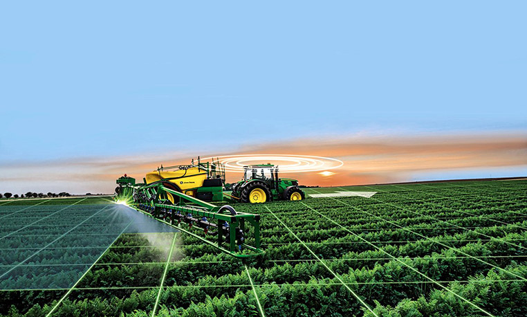
The PFT platform collects spatial data and turns it into paddock management zones, based on each zone's likely crop performance. Those zones are combined with soil and tissue tests and local knowledge. Software then produces recommendations and prescription files for the variable rate controllers on airseeders or boomsprays.
Environmental Aspects
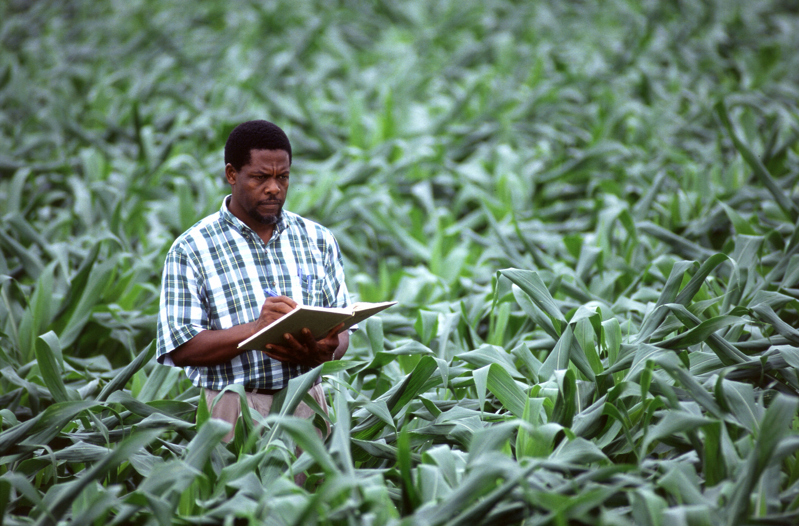
Precision farming manages field-to-field and within-field variation so growers can produce more food with fewer resources and lower costs. Soil, weather, vegetation and water all vary and determine crop success. Precision tools let farmers measure, map and manage that variation, which can help meet the food demand of a growing population.
The benefits include:
- Greater sustainability
- Higher productivity
- Economic benefits
- Environmental protection
We'll Help You Uncover the Paddock Within the Paddock
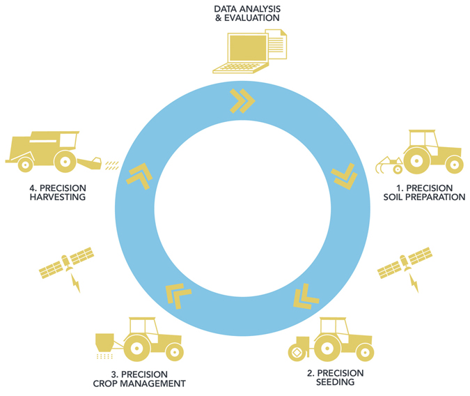
Our service follows four steps, from raw data to a file your machinery can use.
- 1. Acquiring and processing data: An agronomist gathers paddock data such as yield maps, electromagnetic data, satellite or aerial imagery and elevation data. PFT agronomists then process this into management zones.
- 2. Soil and tissue testing zones: Zones are usually based on nutrient needs, such as fertiliser, lime or gypsum. Soil and/or tissue tests determine the product types and application rates for each zone.
- 3. Recommendations: Agronomists analyse the data and recommend ways to improve quality and yield in each zone, considering local conditions. Tools used include Nutriwise®, PaddockWise© and Yield Prophet™.
- 4. Prescription files: Growers receive a prescription file for an airseeder, spreader or spray unit, so they can manage zones and vary inputs between them.
Gathering Paddock Map Information
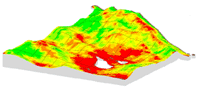
Good paddock mapping is essential for variable rate application. Layering multiple map sources helps define zones.
- Harvest yield maps: The best starting data. Layering several seasons' yield maps accounts for seasonal variability.
- Airborne maps: Historically expensive, but they capture images at a set time with resolution down to 50 cm. Costs are expected to fall, making them more practical.
- Satellite maps: These detect crop variability caused by nutrient deficiency, disease, moisture stress, weeds, insects and weather damage. They cover large areas but need cloud-free conditions. Red and near-infrared reflectance produce an NDVI (Normalised Differential Vegetative Index) map, which identifies stressed and healthy areas. Zones can then receive targeted applications, such as nitrogen.
- Electromagnetic (EM38) soil surveys: A sensor towed across the paddock measures apparent electrical conductivity (ECa), which reflects moisture, salinity and soil texture, all of which affect yield.
- Elevation (topographic) maps: Built from yield or digital elevation data. Topography often correlates with soil type, as in the dune-swale systems of South Australia and Victoria's mallee. It can also flag areas prone to wind or water erosion.
- Active in-crop sensors: Devices such as the Crop Circle™ and GreenSeeker™ mount on vehicles and produce NDVI maps. They have their own light source, so they work day, night and in overcast conditions, and are commonly used for variable rate nitrogen. The Plantations International Product Development Team has used GreenSeeker™ for several years.
What is Variable Rate?
Paddocks vary in several ways, including:
Yield, elevation, biomass and soil surveys establish data management zones. Targeted soil and tissue tests reveal what drives the variation, and variable rate technology then manages those factors.
The benefits are better risk management, higher returns on input spending and long-term farm and business sustainability. Variable rate technology could deliver net benefits of up to USD 300 per acre.
For a free initial consultation, call +852 5808 3775 or use the contact page.
- Soil type (clay, loam, sand and rock content, which affect moisture holding)
- Soil chemistry (pH, cation exchange capacity, organic carbon)
- Soil nutrient levels (phosphorus, nitrogen, trace elements)
- Elevation profile
- Weed burdens
- Disease burdens
Related links
Farmers Are The Backbone of Society
Talk to our plantation team about developing, managing or owning a sustainable farm or orchard.